Kirthwaite and Dentdale
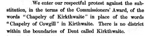
It is amazing that on the internet there is no clear indication of exactly where Kirthwaite was or is. In his Memorial of Cowgill Chapel published by the Rev Adam Sedgwick in 1866, he protests that the chapelry in Cowgill had been renamed as Kirkthwaite Chapel, and argued strongly that no such place as Kirkthwaite existed (see page 36/161 of Memorial or extract on right).
Then I found something on the internet that said that "Stonehouse-in-Dent had once been called Kirthwaite", but I have failed to prove this. Pity, as some of "my" Edmondsons were born at Stonehouse! Then I heard that the whole region to the east of Dent was called Kirthwaite, while someone else said that Kirthwaite was the old name for Cowgill!
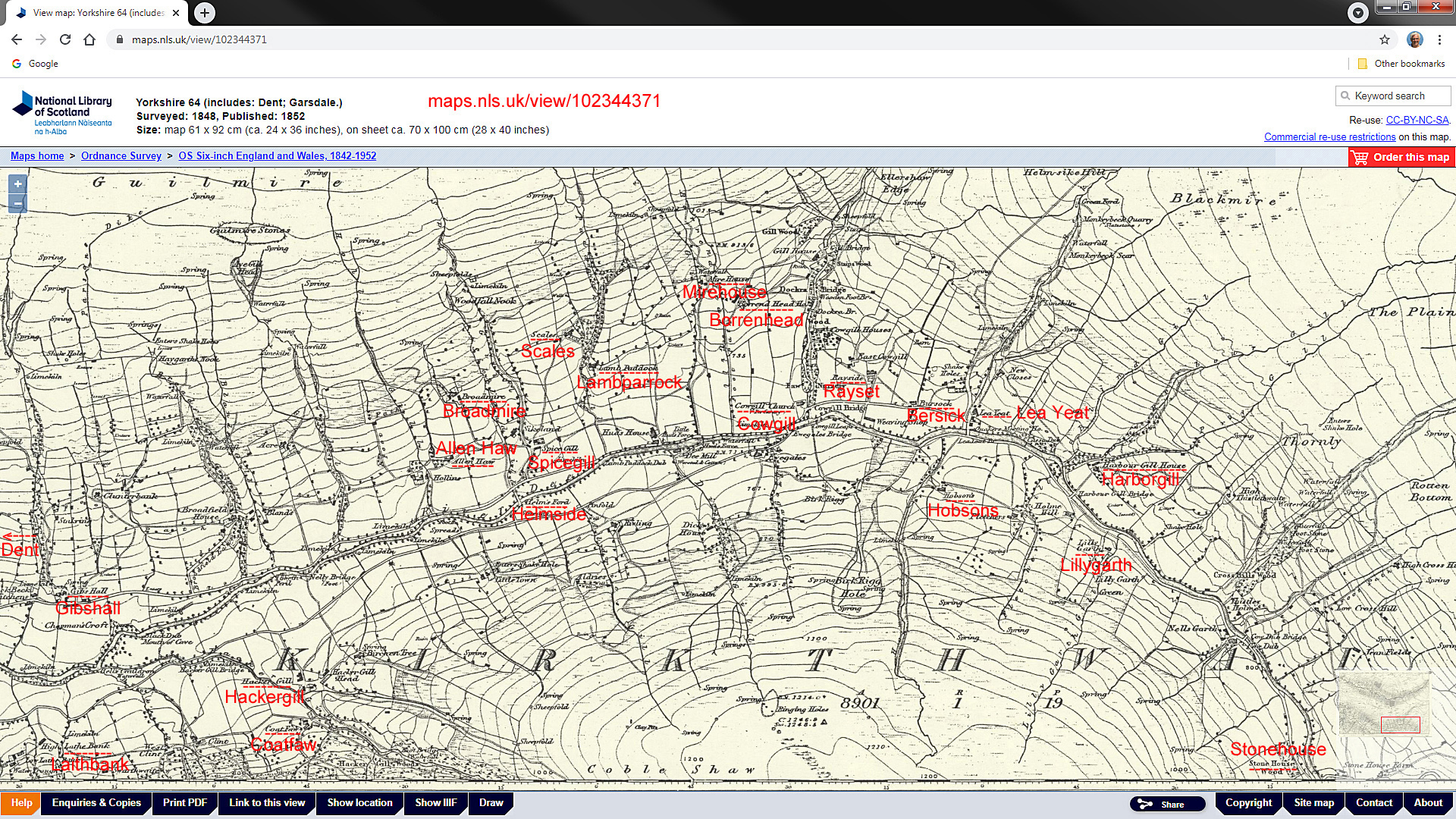
Finally, I found the 1852 edition of the Ordinance Survey maps of the area showing "Kirkthwaite" (despite Adam Sedgwick saying that there was no such place!). If you compare the 1852 and 1892 OS maps, then it is clear that what in the 1852 edition was called "Kirkthwaite" was called "Dentdale" in 1892.
So I think we have solved the problem! Kirthwaite (I prefer to use Adam Sedgwick's version of its spelling, as in Norwegian it means "cow - tree clearing" or "cow pasture" and so has a certain logic) was indeed one of the 5 hamlets of Dent, and covered the area immediately to the east of Dent itself, across to Cowgill, and down to Stonehouse. It was bordered on the south by the hamlet of Deepdale, and to the west by Lord Land and Lenacre.
On my maps, I have decided to set the location of Kirthwaite to be about halfway between Dent and Cowgill, above Deepdale. On the OS map from 1852 (below), I have suggested the locations of most of the places referenced in the parish registers for Dent.
John Lomas
26 November 2024